Diferencia entre revisiones de «GPT14 - Volcán Sollipulli»
(→Season Section Log) (Etiquetas: Edición desde móvil, Edición vía web móvil) |
|||
| Línea 28: | Línea 28: | ||
==Recent Alerts and Suggestions== | ==Recent Alerts and Suggestions== | ||
==Season Section Log== | ==Season Section Log== | ||
| + | *2020-Jan-30 / Martina & Ivo / Regular route southbound | ||
| + | |||
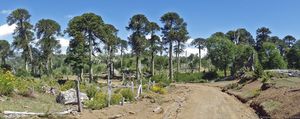
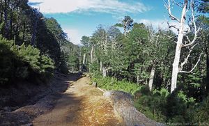
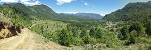
| + | 2.5 days. Nothing to add to the previous comments. We arrived at the pipeline construction site during working hours and just followed the indications of the workers, no detour, just some optional route. We actually quite liked this section with all the trees. We directly added section 15 after this one. There are several busses per day from Reigolil to Curarrehue but we don't know the schedule. | ||
| + | |||
* 15-Jan-2020 / Matus & Anna / Regular route SOBO | * 15-Jan-2020 / Matus & Anna / Regular route SOBO | ||
We combined sections 14 and 15. It took us 3 days and nero. | We combined sections 14 and 15. It took us 3 days and nero. | ||
| Línea 40: | Línea 44: | ||
18-Jan-2020 Tom & Maddie | 18-Jan-2020 Tom & Maddie | ||
Regular route SOBO plus optional summit up Volcán Sollipulli, 1.5 days. | Regular route SOBO plus optional summit up Volcán Sollipulli, 1.5 days. | ||
| − | Overgrown trail towards the start is relatively easy to follow. Mostly overgrown around the middle but the tracks towards either end are in decent condition. The rest of the section is easy walking. I would strongly recommend taking a small detour to summit Volcán Sollipulli in the CONAF National park (~30km into the section). When we arrived at the park we had to pay a CLP 4000 fee per person. When speaking to the ranger about where we intended to walk, he advised that the optional route down from the Volcán we planned to take is in very poor condition and would not let us take it. We had to do an out and back. It took us around 3.5-4h to summit and return. The trail is in excellent condition (trail markers are present) and the view is spectacular!! Possibly the best thing I’ve seen on the GPT. We camped in the park for no charge and bought some hot food from the food truck in the evening on the weekend. No issues with the rest of the section. | + | Overgrown trail towards the start is relatively easy to follow. Mostly overgrown around the middle but the tracks towards either end are in decent condition. The rest of the section is easy walking. I would strongly recommend taking a small detour to summit Volcán Sollipulli in the CONAF National park (~30km into the section). When we arrived at the park we had to pay a CLP 4000 fee per person. When speaking to the ranger about where we intended to walk, he advised that the optional route down from the Volcán we planned to take is in very poor condition and would not let us take it. We had to do an out and back. It took us around 3.5-4h to summit and return. The trail is in excellent condition (trail markers are present) and the view is spectacular!! Possibly the best thing I’ve seen on the GPT. We camped in the park for no charge and bought some hot food from the food truck in the evening on the weekend. No issues with the rest of the section. |
==Summary Table== | ==Summary Table== | ||
Revisión del 12:52 30 ene 2020
| All GPT sections (click to show) |
|---|
|
GPT Section Articles
|
Recent Alerts and Suggestions
Season Section Log
- 2020-Jan-30 / Martina & Ivo / Regular route southbound
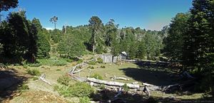
2.5 days. Nothing to add to the previous comments. We arrived at the pipeline construction site during working hours and just followed the indications of the workers, no detour, just some optional route. We actually quite liked this section with all the trees. We directly added section 15 after this one. There are several busses per day from Reigolil to Curarrehue but we don't know the schedule.
- 15-Jan-2020 / Matus & Anna / Regular route SOBO
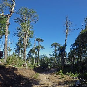
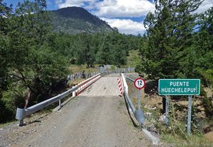
We combined sections 14 and 15. It took us 3 days and nero. GPT14 - there are signs that someone tried to clear overgrown part of the trail on the begining and end but middle is still nicely overgrown. Though we didn't have problem to follow. Part of minor road on regular trail is under construction. They are putting a huge pipe under it. It was evening and workers were not there se we managed to sneak through but I don't think they will let you pass during working hours. It's just before descending to the river before National reserve Villarrica. In the Conaf campsite was food truck (it was weekend) with churasco, sopapillas, drinks... pure heaven. We paid 4000 per person at conaf. They are building a dorm at Lodge. It will be ready for next years hikers ;) Resuply in Reigolil - mini shop on trail seemed abandoned. We found best supplies in shop-4. There is one other shop directly after bridge. GPT15 - road and trail in good condition. On the climb to the lake bit before last settler there are some wild cherry trees on the left. We stuffed ourselves and left for others too. Enjoy. Multiple shops, accomodation options and restaurants in Curarrehue.
18-Jan-2020 Tom & Maddie
Regular route SOBO plus optional summit up Volcán Sollipulli, 1.5 days.
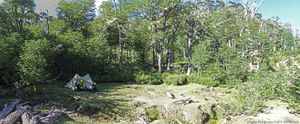
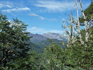
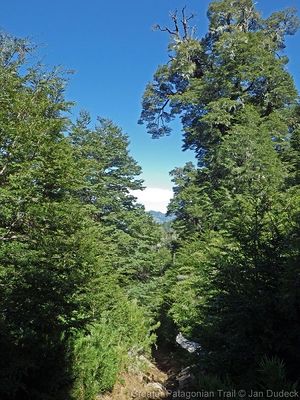
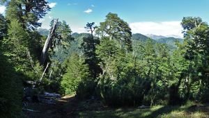
Overgrown trail towards the start is relatively easy to follow. Mostly overgrown around the middle but the tracks towards either end are in decent condition. The rest of the section is easy walking. I would strongly recommend taking a small detour to summit Volcán Sollipulli in the CONAF National park (~30km into the section). When we arrived at the park we had to pay a CLP 4000 fee per person. When speaking to the ranger about where we intended to walk, he advised that the optional route down from the Volcán we planned to take is in very poor condition and would not let us take it. We had to do an out and back. It took us around 3.5-4h to summit and return. The trail is in excellent condition (trail markers are present) and the view is spectacular!! Possibly the best thing I’ve seen on the GPT. We camped in the park for no charge and bought some hot food from the food truck in the evening on the weekend. No issues with the rest of the section.
Summary Table
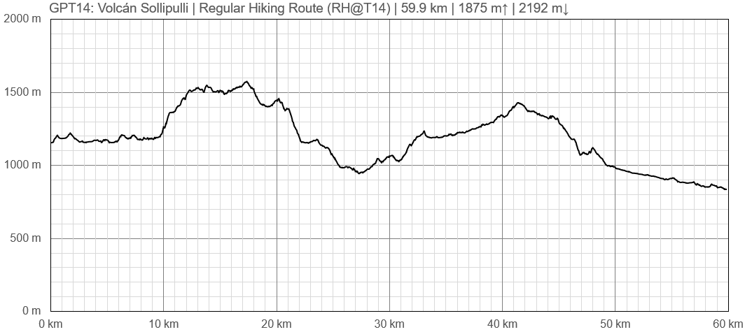
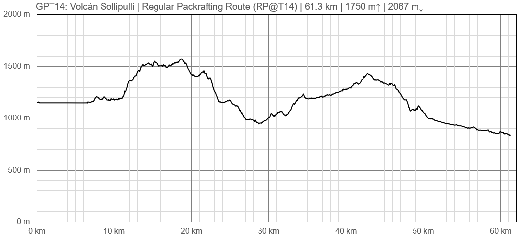
| GPT14: Volcán Sollipulli | Hiking | Packrafting | |||||
| Group | C: Zona Pehuenche | Total | 60.0 km | 17 h | 61.4 km | 18 h | |
| Region | Chile: Araucanía (IX) | Trails (TL) | 5.8 km | 9.6% | 5.8 km | 9.4% | |
| Start | Icalma | Minor Roads (MR) | 49.0 km | 81.7% | 49.4 km | 80.6% | |
| Finish | Reigolil | Primary Roads (PR) | 5.2 km | 8.6% | - | - | |
| Status | Published & Verified | Cross-Country (CC) | - | - | 0.1 km | 0.1% | |
| Traversable | Dec - Apr (Maybe: Oct, Nov, May) | Bush-Bashing (BB) | - | - | - | - | |
| Packraft | Useful | Ferry (FY) | - | - | - | - | |
| Connects to | GPT13, GPT15 | Investigation (I) | - | - | - | - | |
| Options | 49 km (2 Options & Variants) | Exploration (EXP) | - | - | - | - | |
| Hiking | Packrafting | Total on Water | 6.1 km | 9.9% | |||
| Attraction | 2 (of 5) | 3 (of 5) | River (RI) | - | - | ||
| Difficulty | 2 (of 5) | 2 (of 5) | Lake (LK) | 6.1 km | 9.9% | ||
| Direction | Both ↓↑ | Both ↓↑ | Fjord (FJ) | - | - | ||
| Comment | - | ||||||
| Character | Araucaria Forest, Volcanic Terrain, Summit Ascents, Farmland, Pehuenche | ||||||
| Challenges | Demanding River Fords | ||||||


