GPT16 - Volcán Quetrupillan

|
|
| |||||||||||||||||||||||||||||||||||||||||||||||||||||
Recent Alerts and Suggestions
- 18.11.19 / Sophie & Hendrik
90% - 95% of the area from 1500m upwards are completely covered in snow. Think about snow shoes and be careful as there are melting streams covered and hidden by snow. Also, unlike us, keep in mind that snow reflects the sun and can cause burns from below on your nose and chin.
- Route description by Kara Davis after Season 2017/18:
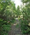
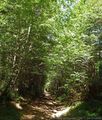
Follow the main road, 199-CH, south out of Curarrehue until the gravel road turn off, S-981. After several kilometers, the road transitions to single track through a eucalyptus forest. Be careful to not follow one of the several other tracks that wind through the forest. The trail exits onto a gravel road, S-947, that follows Estero Huilico. Turn off onto a 4WD track, but be aware there are several other 4WD track spurs. The trail narrows into an obvious single track as you enter Parque Nacional Villarrica. Be prepared for the possibility of snow during this section at higher elevations. At treeline the trail ends and the cross-country traverse begins. This cross-country traverse follows the volcanic landscape at the base of Volcán Quetrupillán. During high snow years, Laguna Blanca may be frozen and snow covered. Be aware that snowpack may make parts of the GPS route difficult, and keep safety in mind when choosing a route. Instead of following the recommended route which ascends through a chute, snowpack forced us to climb up to a pass further to the left and then rejoin the route. Depending on the time of year, Laguna Azul may also be frozen, but water is available at the stream crossing at the southern end. After beginning the descent into the forest, try and find a well maintained trail. The trail joins a dirt road, T-447, which continues until the paved highway, 201-CH, to Carringue. Town: Carriringue. Carriringue is a tiny town with a small market which offers snacks but is difficult to resupply out of. There are also several signs advertising Cabañas.
Season Section Log
- 30.10.19 / Sophie & Hendrik / 5 days (23 walking hours) / Northbound / Regular Hiking Route from Liquiñe to where the trail joins the S-947
We were 7 days on the trail, of which 2 were just camping out bad weather. First day we started late and went to what the first camp on the map. Next we went to the camp without water from the track files (We found some stream there. After filtering amd treading it with chloride we were able to drink it.) We stayed there one day, waiting for better weather. Next day we went to the Fort at Laguna Azul. However, we did not cross it until two days later, as we first waited for better weather conditions. Then we crossed the volcano and camped below the treeline on the other side. Last day we hiked to S-947 and hitchhiked to Pucón for some Food and a real bed.
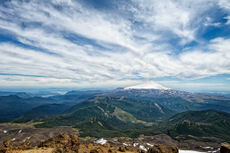
What we liked: Sudden changes of landscapes, beautiful Araucaria forrest, remoteness (didn't meet people for 5 days), breathtaking views and scenes on the volcano, the snow was beautiful (obviously depends on the season), the many plushy chilean tarantulas on the north side.
What we did not like so much: The gravel roads on both ends of the section.
Summary Table
Satellite Image Map
Elevation Profile
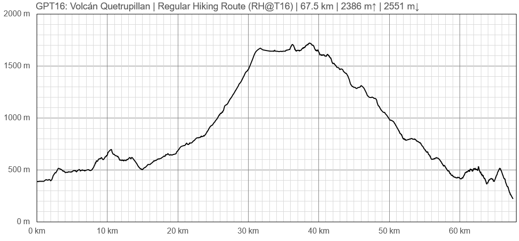
Elevation Profile of Regular Hiking Route
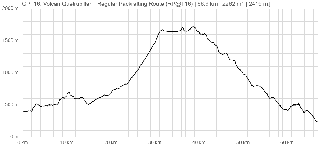
Elevation Profile of Regular Packrafting Route
Section Planning Status
Recommended Travel Period
Benefits of Hiking and Packrafting
Recommended Travel Direction
Section Length and Travel Duration
Suitable Section Combinations
Section Attractiveness
Section Difficulty
Resupply
Resupply Town
Shopping: Food
Shopping: Fuel
Shopping: Equipment
Services: Restaurants
Services: Laundry
Services: ATM and Money Exchange
Accommodation: Hostals and Hotels
Accommodation: Cabañas
Accommodation: Camping
Transport: Ground Transport
Transport: Ferries
Transport: Shipping Services
Resupply on the Trail
Location, Names, Available Items and Services
Access to Route and Return
Access to Start
Return from Finish
Escape Options
Permits, Entry Fees and Right-of-Way Issues
Regular Route
Regular Hiking Route
Regular Packrafting Route
Comments to Regular Packrafting Route
The regular packrafting routes does not deviate significant from the regular hiking route. For route the description see the Comments to Regular Hiking Route. Only on the last few kilometers the regular packrafting routes deviates from the hiking option to approach the river where GPT17P starts.


