GPT19 - Volcán Puyehue
|
|
|
| |||||||||||||||||||||||||||||||||||||||||||||||||||||
Section Statistics
Basic statistics
| Traversable | Dec - Mar (Conditionally: Nov, Apr) | |
| Packraft | Useful (9.6 km | 9.6 % on Water) | |
| Hiking | Packrafting | |
| Attraction | 5 / 5 | 5 / 5 |
| Difficulty | 5 / 5 | 5 / 5 |
| Distance | 83.1 km | 29 h | 70.6 km | 24 h |
| Direction | Both ↓↑ | Both ↓↑ |
| Comment | - | |
| Status | Published and Verified | |
| Zone | D: Zona Rios y Lagos Chilenos | |
| Region | Chile: Los Ríos (XIV) & Los Lagos (X) | |
| Start | Puerto Maihue | |
| Finish | Anticura, CONAF | |
| Previous Section | Next Section | Alternative Section |
| GPT18 | GPT20 | No |
Section Planning Status
Recommended Travel Period
Benefits of Hiking and Packrafting
Recommended Travel Direction
Section Length and Travel Duration
Section Attractiveness
Section Difficulty
Resupply
Resupply Towns at Start, Finish and off Route
Resupply en Route
Access to Route
Permits, Entry Fees, Right-of-Way Issues
Regular Route
Regular Hiking Route
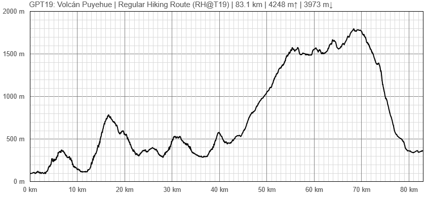
Elevation Profile of Regular Hiking Route
Comments to Regular Hiking Route
Regular Packrafting Route
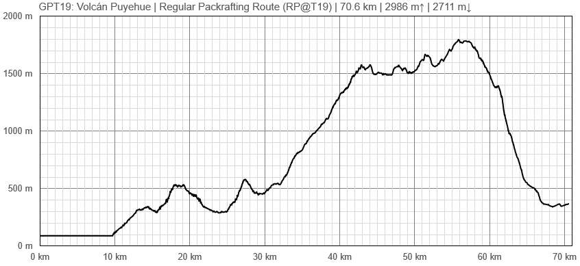
Elevation Profile of Regular Packrafting Route
Comments to Regular Packrafting Route
Summarising route description to be issued.
Route description by Kara Davis after Season 2017/18:
GPT19 begins at the northeastern end of Lago Maihue. The regular hiking route follows T-559, a nice road with beautiful overlooking views of the lake, for many kilometers. Less than a kilometer after the GPS track turns east to contour the north bank of Río Hueinahue, the track turns off of T-559. There is no trail at the turn off, continue cross country until reaching the road on the other side. Be careful crossing this river! At high water, it may be a good idea to walk the few extra kilometers to the T-559 bridge crossing. The river is wide and the river bed was slippery.
Soon after rejoining T-559 on the south side of Río Hueinahue, turn right onto T-537 and begin to steeply climb. After about 2 kilometers, the road reduces to a very rutted trail with occasional spurs and limited camping. The route joins a gravel road T-567, for about 27 km until the turnoff onto Camino a Predio Contrafuerte, a smaller gravel road. After about 16 km, the road ends at a residence that the GPS route apparently goes right through. This house belongs to Nari and Hector, a wonderful older couple who are very used to hikers coming through their property on their way to Volcán Puyehue. Don’t be too alarmed with the barking dogs, go in and introduce yourself!
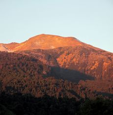
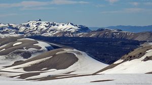
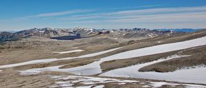
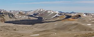
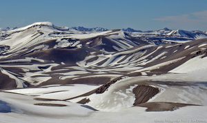
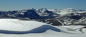
From Nari’s house, there is NO WATER until halfway down the descent of Volcán Puyehue!! It may be possible to grab a drink from some melting snow but don’t count on it during low snow years. Climb a wide rut up the hill behind Nari’s house. The rut reduces to single track and continues to climb through an open forest with plenty of places to camp. After reaching treeline, the trail disappears. You may see the occasional cairn or footprint, but for the most part this is cross-country travel until treeline on the south side of the volcano. The landscape through this section is alien and breathtakingly beautiful.
Just before the very steep descent at approximate elevation 1.400 m, there is a small hut which is popular with hikers climbing the volcano. Descend on a nice trail through the forest with limited camping options. As you approach the road, 215-CH, the route passes by several small cabins. Just west of where the route intersects 215-CH, is a bus stop. The nearest large town is Osorno (see town description in GPT20).


