GPT17H (Liquine)
Add a new log entry always on top in the appropriate season sub-chapter and use format:
* Start Date to Finish Date (use Format YYYY-MMM-DD) / Duration in Days / Hiking or Packrafting / Travel Direction (SOBO for Southbound or NOBO Northbound) / Chosen Route and/or Option Name (RR for Regular Route) / Names or Alias
Summary with remarks to route that are considered useful for other hikers and packrafters. Include alerts, suggestions and personal perception of attractiveness and difficulties.
Add a sub-chapter by placing two "=" before and after the new sub-chapter heading ('==Sub-Chapter Heading==').
Section Log, Alerts and Suggestions
Season 2025/26
Season 2024/25
Season 2023/24
Season 2022/23
- 2023-jan-27 to 2023-jan-29 / 3 days / Hiking / NOBO / RH + Laguna Chan Chan / Coline & Hermann
After sleeping on a wooden platform nearby at work-in-progress house at some 1km after the gratis camping of Puerto Fuy (nice view on the lake, the city and the volcano Mocho Choshuenco), we walked northbound on the regular route of the GPT17.
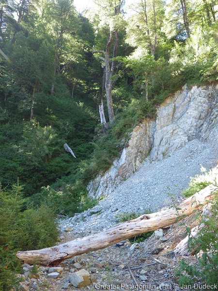
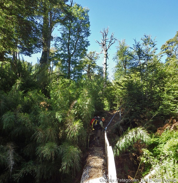
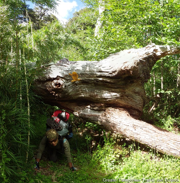
It is also still possible to camp on a tiny beach which the trail reaches (Camp {18-F} [1.2/672]). From there, it took us time to find the trail, because it actually required to... walk on a tweenty meters long fallen tree !
It seems possible to avoid this, by following the path marked with red bird signs.
During the sloapse after, the road turns into a 4x4 road, where you may meet some cyclists going southbound – fast as arrows !
We arrived at the crossroad (the one either following the trail or going to the lake Chan-Chan) at the end of the day, after 1000m up in altitud, and found a place to sleep on the way up, inbeetween two rivers.
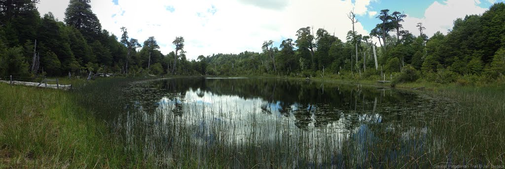
The next day, we stopped several hours at the beautiful volcano lake, where one's can make fire nearby the wooden tables. The clear water is not deep, which makes it perfect for sitting and refershing – surrounded by the mountains.
We went back on the GPT, and noticed that the refuge at the arrival to the lake Quilmo has burned.
It is less attractive to swim there because of the vegetation. It is even more the case for the lake which takes place north-east of the optional road of the GPT (OH-TL-V {17H-D} [0.0+1.5]). However, it was nice to see so many lakes during this section !
Actually, the last one – the laguna Anacoihue – was the cutest one. As you see on the map, it's in shape of a heart ! There is a camping place on the west side, where you can make fire and leave your stuff to walk to the "mirador" at the inner point of the heart (at the sunset, for example).
The next day, we walked the way down to Liquiñe in the morning. There are wooden sculptures, benches and games for (little and grown-up) kids, until one's reaches the plains. From there, we could see the volcano Villarica, which was smoking (so maybe avoid to go to the glacier Pichillancahue or even at the summit of the volczno, if you plan doing the GPT16-04 after... Or at least, have a look on RED).
We could easily resupply at Liquiñe and even found bottles of gas (Pro-Gas) in the "fereteria" some 200m down the main road (Ruta 201 CH), after it crosses the road leading to the Termas Trafipan, in front of a white building.
The hot springs marked on the map are now "infrastructured" (so to say), which means they are not for free anymore, but also that you can charge your phone (for free if asking) and/or spend the night (for 15 to 25mil pesos / person / night) and enjoy the swimming pools.
In fact, we were told (after) that there is a natural hot spring only known by inhabitants.
- 2023-Jan-31 to 2023-Feb-01 / 2 days / Hiking / SOBO / RR + OH 17h-C / Maks & Gabi
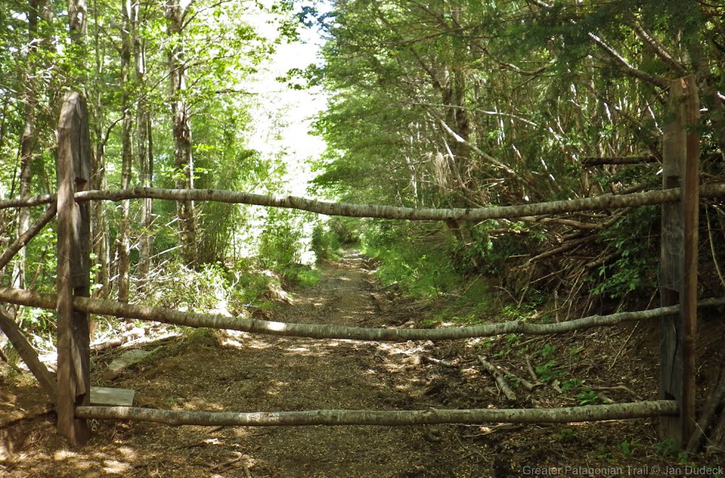
Nice and easy trail even though the ascent on the beginning which follows dirty road with a lot of cars. We took OH 17h-C which is not worth it, there is a new gate on the way, and when we tried to go through the forest there were lots of fences. Than as written below the trail is marked and well maintained. We were doing RR, and it wasn't owergrown anywhere ( there is only one place somewhere around km 32 of RR when it's more worth to follow red bird sign than GPS navi, they are connecting once again after 100m) We were sleeping at Camping gratis in Puerto Fuy, it was ok, but there is a lot of homeless dogs and it's quite a lot of people and noise during the night. Puerto Fuy is a quite big and there are many buses (almost every hour ) to Panguipulli.
- 2023-Jan-29 to 2023-Jan-31 / 3 days / Hiking / SOBO / RR + Laguna Chan Chan / Will
Amazing section, don't skip it! Just make sure to take the openstreetmap route by Laguna Chan Chan instead of the main route.
I camped at the Termas de Punulaf after arriving via section 12. 15000 pesos, somewhat quiet, with some swimming pool style hot springs. Even a little restaurant. In the morning I walked along the field down to the river, where a kid rowed me across into town (500 pesos). Lots of shops for resupply.
The road walk up to the Laguna Corazon (aka Ankacoihue) trailhead would have been rough, thankfully I was blessed with a ride most of the way up. At the trailhead you'll find a nice lodge/cafe where I had to register and pay 2500 to hike to the lake. It's a cute trail, complete with benches and art and motivational signs. Great views of the valley.
After Laguna Corazon you'll end up on the Huilo Huilo trail, where you can follow the red bird trail markers all the way to Puerto Fuy along well maintained trail and dirt roads. Though the park's route seems to diverge from the main route twice, following variant D and the trail to Laguna Chan Chan.
Variant D looked to be a well maintained (slightly bland) road, vs the main route which is an old road in the process of being reclaimed by the forest. Currently the main route's still not bad walking.
The trail approaching Laguna Chan Chan from the north was a highlight: thin, slower, steeper, more intimate. It eventually merges onto a dirt road heading down from the lake and west. The main route here was a plain gravel road (I went the wrong way along it for a few km).
There's well maintained campsites with picnic tables and everything at Laguna Corazon/Ankacoihue, Laguna Chan Chan, and at Pozo de Oro near the end.
The ferry at Puerto Fuy was sold out all day by the time I got there around noon.
Season 2021/22
Season 2020/21
Season 2019/20
- 2020-Feb / Hiking / NOBO / RR + Lago Chanchan / Matthieu
Another part of the Huilo Huilo parc, no entry fees in this sens. Nice for the forest walkers the like flowers and calm. Tracks well maintained in the form of 4x4 roads, easy to follow (Little red plastic birds sticked on the trees). I agree with Martina and Ivo on the attractivity of this section. There are a few lakes to see on the way, if you get off the RR, and it is worth the effort. The savage beach just a few kilometers after Puerto Fuy is a paradise to camp. Liquiñe is a nice place to rest, with camping and thermal water. Lots of shops.
- Lago Chanchan :
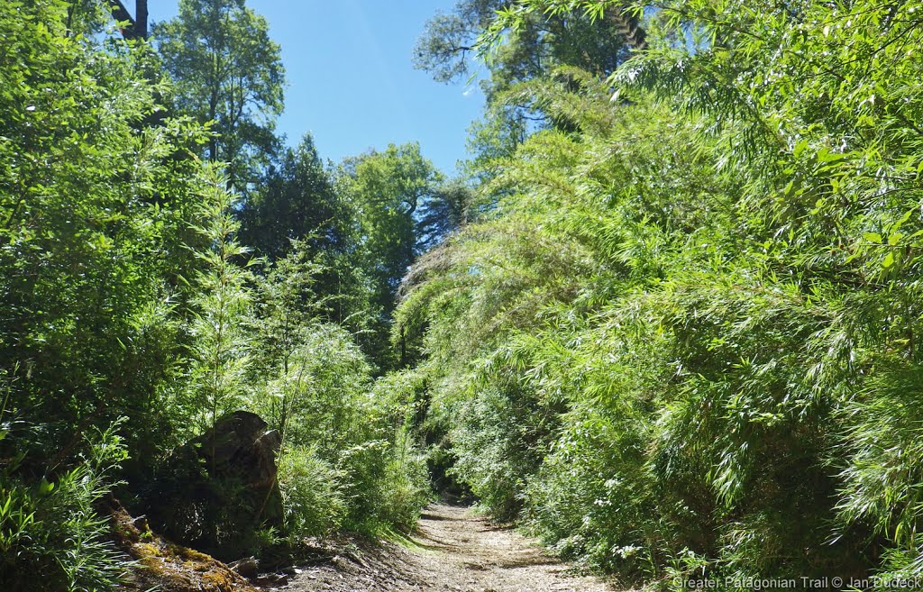
Talking to chilean hikers there, the main attraction seems to be the Lago Chanchan, which is actually a lake in a volcano crater, with a little beach, and a wonderful place to camp. I took the detour to go. From the waypoint "Refugio?" (which is actually the house of Juan, whose mission is just to take the names of the people going south, just for safety if they get lost. No fees, no stress. Juan is really nice and I could enjoy a nice coffee and discussion with him.), I came back going southbound to the Div 108. Then you take the little forest trail, that goes up gor 2-3 hours until the lake Chanchan. It is a little technical trail cutted in the bamboos, but in this sense easy to follow, following the little red birds. Just before the lake there is a Div where you arrive to a 4x4 trail. One road goes north to the lake, and the other one goes south to the "pozo del Oro", and I assume that this trail join the RR between "Bridge, camp2" and "DIV 110" I didnt explore it the next day thow, going back on my tracks by the little bamboo trail because I was initially going northbound. SO there is a path exploitable from the south part of the section, leaving the RR on a minor road, going to the lake Chanchan, and then going back to RR taking this little trail to the Div 108, making your experience really more attractive.
- 2020-Feb-09 / 1.5 days / Hiking / SOBO / RR / Martina & Ivo
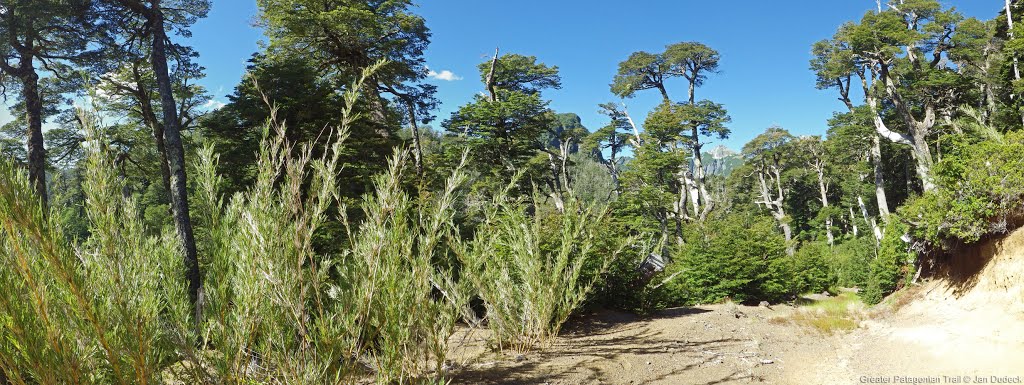
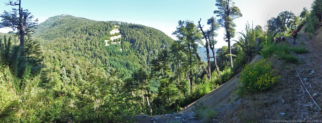
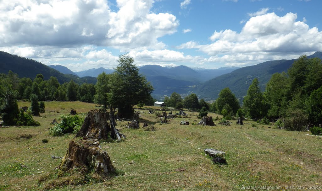
Here is our advertisement for this beautiful section: From Liquiñe alto to the beginning of the forest: great view to the volcanoes Villarica and Lanín. Nice trail to the enchanted Laguna Ankacoigüe. Then beginning of the Reserva Biológica Huilo-Huilo Sector Norte: stunningly huge trees and a sudden change of landscape, entering Valdivian rainforest for the first time. Only a short part of minor road between waypoint "lake, no camp" and the highest point of the section. The whole descent to Puerto Fuy is a attractive trail through pretty rainforest with views to the Volcán Choshuenco. 4 km before the village you find this pristine hidden lonely beach, perfect for a last rest before you arrive at busy touristy Puerto Fuy.
Our rating: 3
Don't skip ;-)
- 2020-Feb-08 / 2 days / Hiking / SOBO / RR / Frank
I met Martina & Ivo on the route & agree with their above comments. This section was an unexpected highlight & the campsite on the lake was the best. When you reach the lake you cross a river then arrive at the campsite which you will probably have to yourself. Avoid the campsites near Puerto Fuy as there are lots of car campers there.
Season 2018/19
Season 2017/18
Season 2016/17
Resupply and Accommodation
Resupply and Accommodation in nearby Towns
In Liquine there are a few small shops. There are also some open air markets, you can get breakfast & lunch there. They open around 10:30 AM. 2 restaurants in Liquine but neither of them was open when I was there (Feb 2020)
There are a few places advertising cabins on the road in to Liquine & as you leave Liquine southbound there are two cheap hotels.
Resupply and Accommodation along the Route
Transport to and from Route
Permits, Entry Fees and Right-of-Way Issues
Links to other Resources
Retired Section Article GPT17H - Liquiñe

